Latest issue:
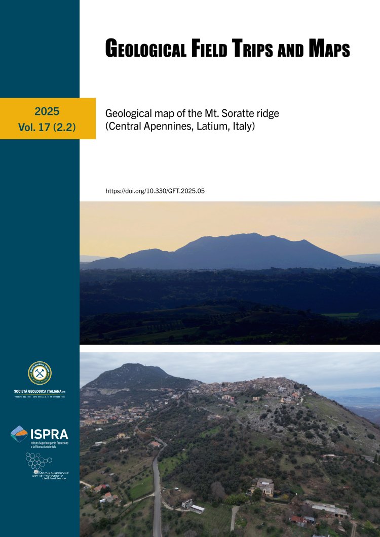
Geological map of the Mt. Soratte ridge (Central Apennines, Latium, Italy)
Volume 17 (2.2)/2025
Select an issue from the archive
Vol. 1 (1)/2009 - Vol. 17 2.2 2025
Search for Articles
Vol. 1 (1)/2009 - Vol. 17 2.2 2025
Geological map of the Mt. Soratte ridge (Central Apennines, Latium, Italy)
Volume 17 (2.2)/2025
Select an issue from the archive
Vol. 1 (1)/2009 - Vol. 17 2.2 2025
Search for Articles
Vol. 1 (1)/2009 - Vol. 17 2.2 2025
ISSN: 2611-6189
Impact Factor (2024): 1.1
Journal Citation Indicator (JCI) (2024): 0,49
JCI Quartile (2024): Q3
CiteScore (2024): 1.6
SJR (2024): 0.306
SNIP (2024): 0.352
Impact Factor (2024): 1.1
Journal Citation Indicator (JCI) (2024): 0,49
JCI Quartile (2024): Q3
CiteScore (2024): 1.6
SJR (2024): 0.306
SNIP (2024): 0.352

CiteScore rank 2024
Category: Economic Geology; Rank: #26/47; Percentile: 45th
Category: Stratigraphy; Rank: #34/57; Percentile: 41st
Category: Geology; Rank: #207/330; Percentile: 37th
Category: Global and Planetary Change; Rank: #101/125; Percentile: 19th
Category: Economic Geology; Rank: #26/47; Percentile: 45th
Category: Stratigraphy; Rank: #34/57; Percentile: 41st
Category: Geology; Rank: #207/330; Percentile: 37th
Category: Global and Planetary Change; Rank: #101/125; Percentile: 19th
Geological Field Trips and Maps
The online journal of the Italian Geological Society and of the Geological Survey of Italy on field geology
The Geological Field Trips and Maps (GFT&M) is an online international journal edited by the Italian Geological Society and the Geological Survey of Italy - ISPRA. It publishes high-quality original geological and thematic maps with short notes, and geological guides relating to field excursions mainly offered during scientific conferences and workshops. The scientific quality of maps and guides is guaranteed by an international editorial board composed of experts in cartography and field geology belonging to various universities and national geological surveys. GFT&M is a Diamond open access. All editorial and publication costs are supported by the Italian Geological Society and the Geological Survey of Italy - ISPRA. It is indexed and its format allows the preservation, accessibility and citation over time of geological maps and guides, and the dissemination of field geology data to the widest audience.

Aims & Scope: The aim of GFT&M is to promote field geology by making field geology data available to the broadest international audience, including the description of field trips held during scientific conferences and workshops. Geological guides and maps considered for publication in GFT&M may cover a wide range of topics related to Earth and planetary sciences, including stratigraphy, sedimentology, paleontology, structural geology, volcanology, petrology, metamorphic geology, geomorphology, engineering geology, tectonics and planetary geology, in areas of high geological interest. Emphasis is given to innovative techniques and applications. High-quality maps derived from national mapping projects (e.g., the Italian CARG Project etc.) that aim to summarize or explore in more detail specific scientific topics at an appropriate scale are also welcome. It is indexed by Science Citation Index-Expanded (SCIE), Web of Science, Current Contents/Physical, Chemical & Earth Sciences (CC/PC&ES).


