Volume 16 (1.5)/2024
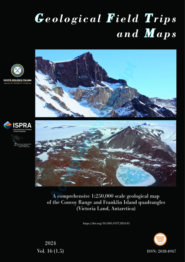
A comprehensive 1:250,000 scale geological map of the Convoy Range and Franklin Island quadrangles (Victoria Land, Antarctica)
DOI: https://doi.org/10.3301/GFT.2024.05 - Pages: 1-21
Giovanni Capponi1, Chiara Montomoli2, Matteo Simonetti3, Maria Cristina Salvatore4, Stefano Casale4, Giovanni Musumeci4, Simon Cox5, Belinda Smith Lyttle5, Piero Carlo Pertusati4, Andreas Läufer6, Thomas Mörs7 & Jan Unverfärth8
1DISTAV, University of Genova, Corso Europa 26, 16132 Genova, Italy.
2Dipartimento di Scienze della Terra, University of Torino, Via Valperga Caluso 35, 10125 Torino, Italy.
3Servizio Geologico d'Italia - ISPRA, Via Vitaliano Brancati, 48, 00144 Roma, Italy.
4Dipartimento di Scienze della Terra, University of Pisa, Via Santa Maria 53, 56126 Pisa, Italy.
5GNS Science, 764 Cumberland Street, North Dunedin, Dunedin 9016, New Zealand.
6Bundesanstalt für Geowissenschaften und Rohstoffe, Stilleweg 2, 30655 Hannover, Germany.
7Department of Palaeobiology, Swedish Museum of Natural History, Svante Arrhenius väg 9 SE-114 18 Stockholm, Sweden.
8Institute of Geology and Palaeontology, University of Münster, Heisenbergstrasse 2, 48149 Münster, Germany.
Corresponding author e-mail: capponig@gmail.com
Abstract
A comprehensive geological map of the Convoy Range - Franklin Island USGS quadrangles (Victoria Land, Antarctica) integrates previous geological maps with new field data collected during the 2017/18 and 2018/19 austral summers by the XXXIII and XXXIV ItaliAntartide expeditions. This new geological map allows a complete coverage of Victoria Land, by filling the gap between the GIGAMAP program (a German / Italian agreement of cooperation to produce new geological maps of Victoria Land), to the north, and the maps by the New Zealand Antarctic program, to the south.
The Lower Paleozoic basement is overlain by flat-lying Devonian to Lower Jurassic cover of sedimentary and igneous rocks. The mapping highlighted some key features of this region, such as the scarce occurrence of rocks of the Wilson Metamorphic Complex, the occurrence of mafic rocks belonging to the Granite Harbour Intrusive Complex and the possible activity of faulting with hundreds of m of vertical offset, linked to the post Ross Orogeny tectonics. This new map can be used as the starting point for any future geological investigation in this region.
Keywords
