Volume 14 (2.1)/2022
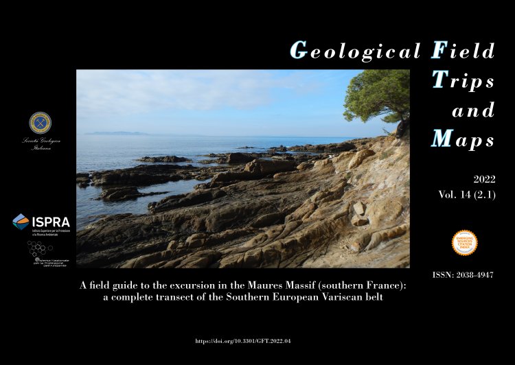
A field guide to the excursion in the Maures Massif (southern France): a complete transect of the Southern European Variscan belt
DOI: https://doi.org/10.3301/GFT.2022.04 - Pages: 1-41
Matteo Simonetti1
1Servizio Geologico d'Italia, ISPRA, 00144 Roma, Italy.
Corresponding Author e-mail address: matteo.simonetti@isprambiente.it
Corresponding Author e-mail address: matteo.simonetti@isprambiente.it
Abstract
In this guide key outcrops of the Maures Massif, the southernmost part of the Variscan belt in France, are described. Here the features acquired during the fundamental steps of the evolution of the southern European Variscan belt can be recognised. The field trip develops along a W to E transect, perpendicular to the main architecture of the belt. It is organised in eight stops that can be easily reached by car or by walking. The excursion can be completed in one day, but to better enjoy these spectacular outcrops, two days are suggested. The stops show significative outcrops of the low-grade rocks of the External Zone up to the high-grade migmatite of the Internal Zone. Particular focus is given on the tectonic contact between the Internal and External zones of the belt marked by a km-scale transpressional shear zone, known as the Cavalaire Fault, whose structural, lithological, metamorphic and geochronological aspects are described in detail. This structure is a branch of a crustal-scale system of late Carboniferous shear zones known at the regional-scale as the East Variscan Shear Zone. The several branches were interconnected and all recorded a common evolution characterised by transpressional deformation starting from ~330 My.
Keywords
Maures–Tanneron Massif, East Variscan Shear Zone, Monazite petrochronology, Cavalaire Fault, Transpression.
