Volume 18 (1.1)/2026
Jurassic volcanism in the western Tethys (Iberian Range, Spain): geological maps
DOI: https://doi.org/10.3301/GFT.2026.01 - Pages: 1-18
José Emilio Cortés1
1Departamento de Geodinámica, Estratigrafía y Paleontología, Facultad de Ciencias Geológicas, Universidad Complutense de Madrid, José Antonio Novais 12, 28040 Madrid, Spain.
Corresponding author e-mail address: jocortes@ucm.es
Corresponding author e-mail address: jocortes@ucm.es
Abstract
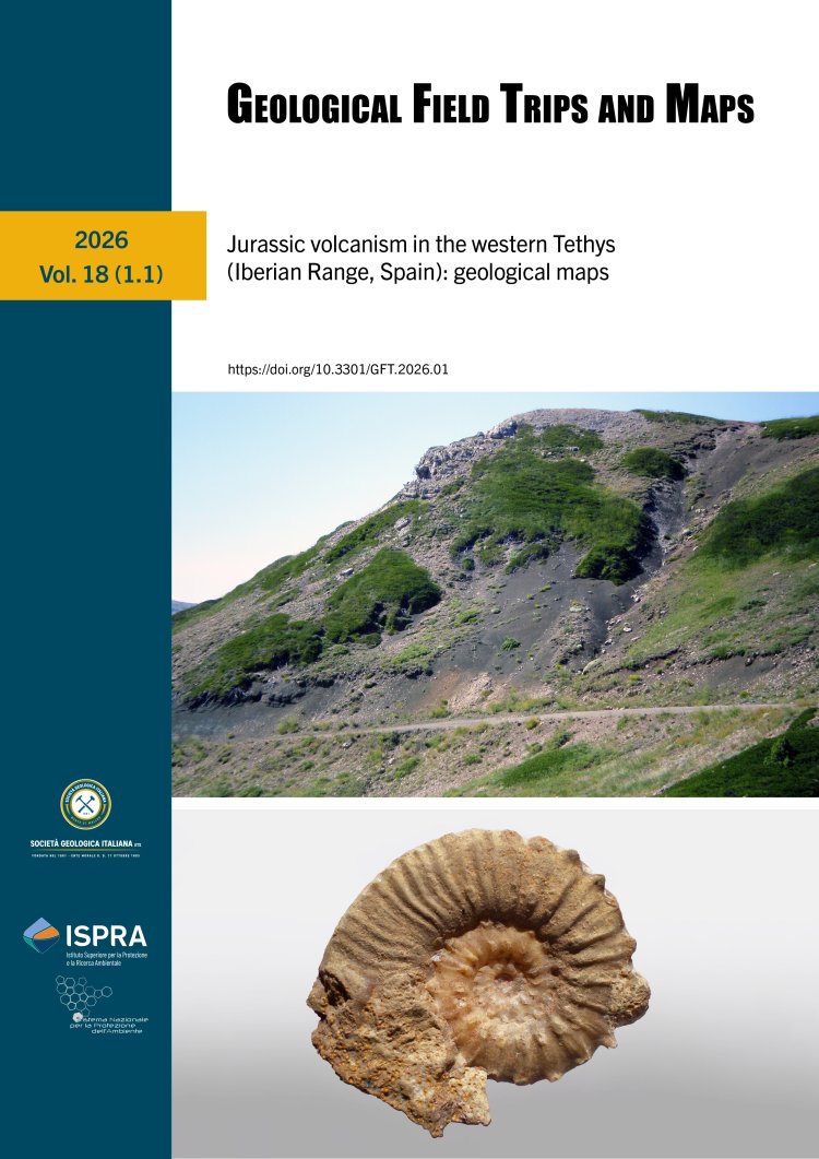
Occurrences of interbedded volcanic deposits in the Jurassic marine carbonate successions of the SE Spanish Iberian Range (Iberian Plate) have been reported since the 1930s. However, it was not until now, almost 85 years later, that these volcanic deposits have been quantified and dated. Eight sites containing single or multiple volcanic rock outcrops are detected, where 13 successive volcanic levels are differentiated using biostratigraphic methods. The results indicate that the volcanic manifestations were distributed throughout the early Pliensbachian–early Bajocian interval. The starting point for this quantification and dating was the geological mapping of the volcanic outcrops and surrounding sedimentary formations. The geological mapping was carried out in the field using traditional methods, such as enlargements of maps on paper at a scale of 1:25,000 provided by the Instituto Geográfico Nacional (IGN) and at a scale of 1:10,000 by the Institut
Cartogràfic Valencià. The hand-drawn geological features were later digitized using several software programs (AutoCAD, ArcGIS, Adobe Illustrator, and Adobe Photoshop) and presented in portable document format (.pdf) in this work. Georeferenced sheets of the National Topographic Base of Spain (1:25,000) in digital (.dwg) format were used as the topographic base of the maps. Orthoimages and Digital Elevation Models were also deployed. All the material (vector topographic base, orthoimages, and DEMs) was provided by the Instituto Geográfico Nacional of Spain.The final maps represent a complete location of all known Jurassic volcanic manifestations in the Iberian Range, which may be useful in further multidisciplinary geological work.
Keywords
