Volume 17 (2.2)/2025
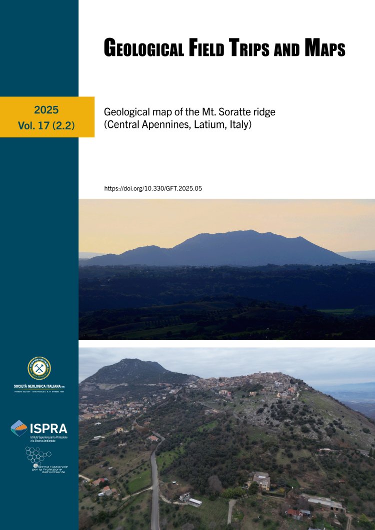
Geological map of the Mt. Soratte ridge (Central Apennines, Latium, Italy)
DOI: https://doi.org/10.3301/GFT.2025.05 - Pages: 1-33
Federico Artegiani1 & Giammarco Fagioli2
1 Dipartimento di Scienze, Università di Roma Tre, Largo San Leonardo Murialdo, 1, 00146, Roma.
2 Dipartimento di Scienze della Terra, Sapienza Università di Roma, Piazzale Aldo Moro, 5, 00185, Roma.
Corresponding author e-mail: federico.artegiani@uniroma3.it
2 Dipartimento di Scienze della Terra, Sapienza Università di Roma, Piazzale Aldo Moro, 5, 00185, Roma.
Corresponding author e-mail: federico.artegiani@uniroma3.it
Abstract
In this work we present the geological map of Mt. Soratte (Central Apennines, Latium, Italy), drawn up at a scale of 1:5,000, following the guidelines proposed by the CARG (Geological CARtography) project. The study area is characterised by a Meso-Cenozoic succession mainly dominated by pelagic deposits belonging to the
Umbria-Marche-Sabina Basin, set up following the Early Jurassic extensional tectonics. A peculiarity of this area is the occurrence of neptunian dykes filled up by Middle Jurassic and Cretaceous units as well as epiescarpment deposits of Cenomanian/Turonian units overlying Lower Jurassic units, as a results of a Cretaceous extensional tectonics. A further note goes to the presence of hiatus in the succession, which lacks Cretaceous units as well as units subsequent to the upper Eocene until the Plio-Pleistocene. The
current landscape of the Mt. Soratte area is the result of a complex morpho-tectonic evolution started from the Miocene compression, which structured the Apennine chain, followed by the extensional tectonics, leading to the formation of the Tiber Valley. This scenario has allowed the arrangement of wide volcaniclastic and continental clastic deposits in the entire area surrounding the Mt. Soratte relief.
Keywords
Mt. Soratte Ridge, Umbria-Marche-Sabina succession, Jurassic extensional phase, Cretaceous extensional phase, pelagic carbonate platform-basin systems.
