LATEST ISSUE
This page contains articles of the latest published issue of Geological Field Trips and Maps journal.
Volume 18 (1.5)/2026
Building stones and urban geology of Bari (southern Italy): a geoheritage perspective
FT1 Pre-congress field trip of the joined congress SGI and SIMP "Geology for a sustainable management of our planet" Bari, 3-5 September 2024
DOI: https://doi.org/10.3301/GFT.2026.05 - Pages: 1-24
Giacomo Eramo1, Alessandro Monno1, Monica Mastrorilli1, Giovanna Fioretti1 & Luigi Spalluto1
1Dipartimento di Scienze della Terra e Geoambientali, Università degli Studi di Bari Aldo Moro.
Corresponding e-mail address: giovanna.fioretti@uniba.it
Corresponding e-mail address: giovanna.fioretti@uniba.it
Abstract
The city of Bari, host of the 2024 edition of the joint SGI-SIMP congress "Geology for a sustainable management of our planet", is the capital of the Apulia region and one of the most important port
cities on the Adriatic Sea. Its historical role as the Porta d'Oriente (Gateway to the East) since antiquity, together with the legacy of successive dominations, has left a profound imprint on both its tangible and intangible cultural heritage.
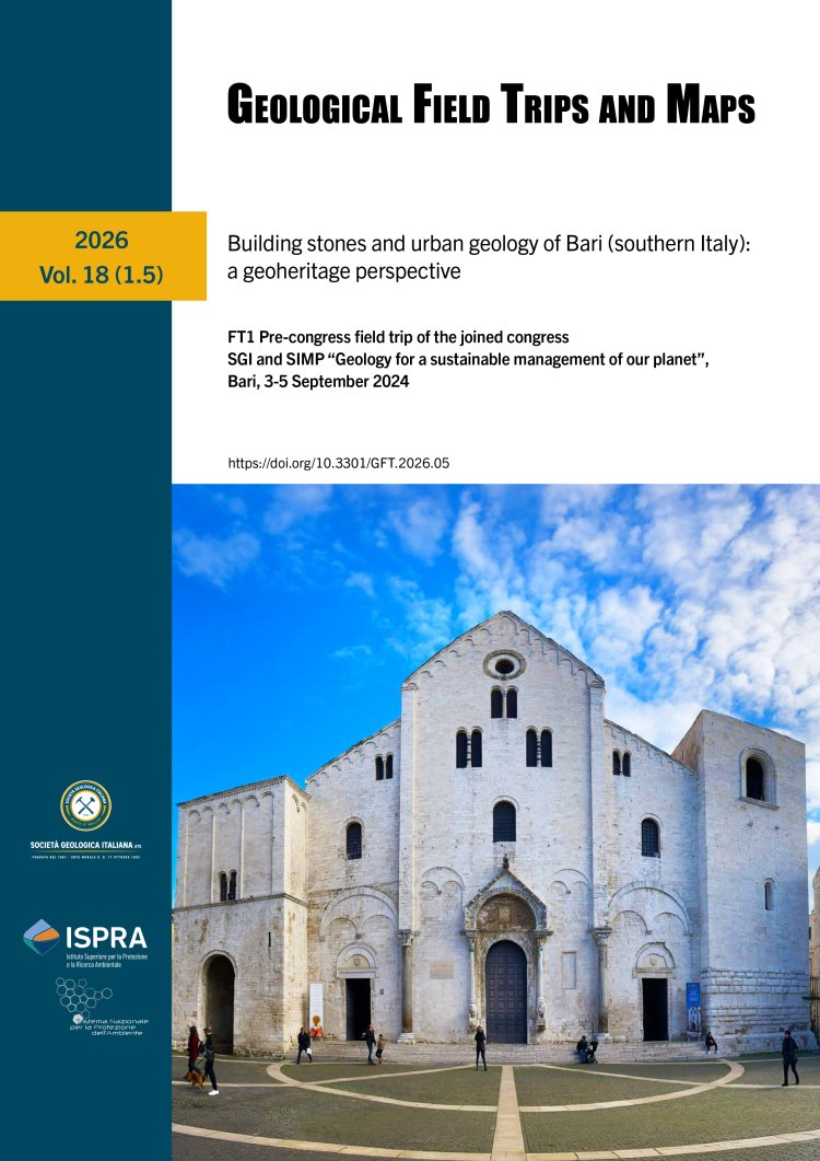
This guide offers an opportunity to explore the rich cultural heritage of the old town (Bari Vecchia) and the modern Murat district. It also presents a concise overview of the urban geological substratum and its relationship with the city's-built heritage. The itinerary includes seven stops at sites of particular historical meaning, including Piazza del Ferrarese, the Petruzzelli Theatre, the seafront promenade (Lungomare), the Basilica of Saint Nicholas, the Cathedral of Saint Sabinus, the Norman-Swabian castle and the iconic streets of Bari Vecchia (Arco alto and Arco Basso).
In addition, selected case studies on the diagnostics and restoration of cultural heritage, carried out by researchers and students of the Degree Course in Conservation and Restoration at the University of Bari Aldo Moro, will be presented along the tour.
Keywords
